NPP
Suomi NPP (анхандаа NPOESS Preparatory Project, NPP) — АНУ-ын Үндэсний Далай ба Агаар мандлын Байгууллагын (NOAA)-аас ажиллуулж буй АНУ-ын цаг уурын хиймэл дагуул. 2011 онд хөөргөсөн, уур амьсгалын хэмжилтийг хийж, NASA-гийн Дэлхийг Ажиглах Системийн хөтөлбөрийн санаачлагыг үргэлжлүүлэх зорилготой (хөтөлбөр нь 1997-2011). Хөргөөд 3 сарын дараа 2012 оны 1-р сарын 24-нд Висконсин-Мадисоны их сургуулийн эрдэмтэн судлаач цаг уурч Verner E. Suomi –ийн нэрээр Suomi NPP гэж нэрлэсэн.
Дагуул Дэлхийг хоногт 14 тойрохдоо 5 үндсэн хэрэгслийн тусламжтайгаар зураглал хийнэ:
JSPP
NOAA-20, хөөргөхөөс өмнө JPSS-1 гэж тэмдэглэсэн дагуул нь АНУ-ын NASAгийн сүүлийн үеийн туйлын хиймэл дагуулын системд хамрагдана.
NOAA-20 -ыг 2017 оны 11-р сарын 18-нд хөөргөсөн ба Suomi NPP –ийн тойрог замд туйлын түншлэлийн хиймэл дагуул руу нэгдсэн. NOAA-20 –ын замнал нь Suomi NPP-ээс ойролцоогоор 50 минутын өмнө үргэлжилдэг учраас ажиглалтын хамрах хүрээ чухал давхцдаг.
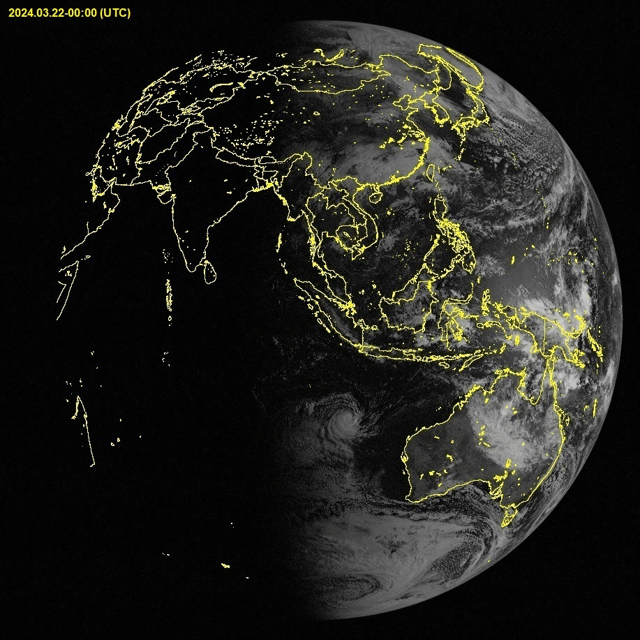
Дэлхийг тойрон өмнөд хойд туйлаас туйлруу, экваторыг өдөрт 14 удаа хөндлөн өнгөрч, өдөрт 2 удаа дэлхийн хэмжээг бүрэн хамрана. Энэ нь цаг агаарыг урьдчилан мэдээлэхэд "агаарын температур, чийг, үүл, далайн гадаргын температур, далайн өнгө, далайн мөс бүрхэвч, галт уулын үнс, түймэр илрүүлэх” зэрэг мэдээ өгнө мөн шуургыг хянах, шуургаар сүйдсэнийг детальчилж дараах сэргээн босголтыг багтаахын тулд эвдрэл, эрчим хүчний тасалдлыг зураглана.
Төсөл таван төрлийн хэрэгслийг багтаасан бөгөөд өмнөх хиймэл дагуулын тоног төхөөрөмжөөс нэлээд сайжирсан. Төслийн илүү нарийвчилсан ажиглалтууд нь илүү сайн таамаглалыг өгч, El Niño, La Nina зэрэг цаг агаарын нөхцлийг онцлон тэмдэглэх болно.